Worldhub 药店经营管理系统 · 全功能使用说明
版本适用:当前所有模块(销售 / 采购 / 库存 / 会员 / 促销 / 报表 / GSP / 麻精 / 追溯 / 医保 / AI) 用途:按“页面 → 输入框 → 按钮 → 作用”逐项说明,供店员、店长、管理员上手使用。 正式版下载地址:https://share.weiyun.com/YvW0zshS 在线介绍 ,申请许可证 http://yaodian.silubaba.com.cn 登录与主界面 登录 主窗口布局…

版本适用:当前所有模块(销售 / 采购 / 库存 / 会员 / 促销 / 报表 / GSP / 麻精 / 追溯 / 医保 / AI) 用途:按“页面 → 输入框 → 按钮 → 作用”逐项说明,供店员、店长、管理员上手使用。 正式版下载地址:https://share.weiyun.com/YvW0zshS 在线介绍 ,申请许可证 http://yaodian.silubaba.com.cn 登录与主界面 登录 主窗口布局…
The official website and cloud services are https://music.silubaba.com.cn. The current release version is 1.4.18, published by Yiwu Ouou Import & Export Co., Ltd. It brings web music playback, local file playback, video viewing, and creative studio…
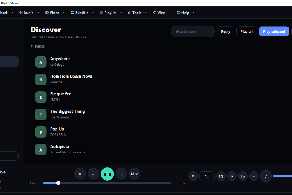
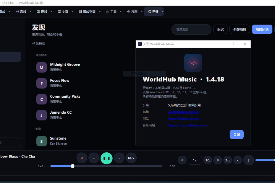
官网与云服务为 https://music.silubaba.com.cn。当前发行版本为 1.4.18,由义乌欧欧进出口有限公司发布。它把网页端听歌、本机文件播放、视频观看、创作工作室放进同一个窗口,安装后即可使用,目标电脑不必再装 Python 或 VLC。 产品覆盖 Windows 7 SP1、Windows 8 / 8.1、Windows 10 的 32 位与 64 位,以及 Windows 11 的 64 位。提供两套安装包:64 位适用于 Win7 到 Win11 的 64 位系统;32 位适用于 32 位系统,也可在 64 位 Windows 上以兼容方式安装。安装器用当前用户权限写入,一般无需管理员。引擎内置 LibVLC…
A complete, AI-assisted operations management system for taxi companies. One data core, three clients: a responsive PC management web console, a native Android app, and a bilingual (Chinese & Uyghur) RTL-ready experience. 1. Overview Taxi…
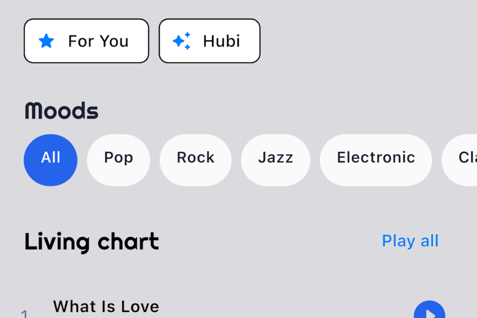
# Store listing — WorldHub Music(mobile/car play . tablet ,tv box ) ## app name WorldHub Music ## full interduce WorldHub Music is a cross-platform music streaming app that brings continuous radio, community discovery, and…
一、产品总体介绍 智能电子档案管理系统是一款 国产化、全流程、智能化、安全合规的新一代档案数字化管理平台,全面覆盖档案采集、数字化处理、智能识别、著录归档、检索查阅、借阅审批、安全管控、统计运维、智能问答全业务场景。 产品面向机关单位、事业单位、国企、工程企业等全行业档案管理需求,替代传统纸质档案手工管理模式,实现档案从“纸质保管”向“数字化、智能化、可视化、安全化”全面升级。 系统支持 实体档案+电子档案双轨管理,具备全自动图像标准化处理、AI智能识别增强、7×24小时AI智能知识库问答、全域语义检索、全流程审批预警、全程安全审计能力,是一套成熟、稳定、可扩展的一体化智慧档案管理产品。 二、产品核心优势(八大核心亮点) 三、产品核心功能模块详情 1. 在线智能扫描数字化模块 系统内置 纯网页在线扫描能力,无需安装任何客户端软件,直接连接各类国产扫描仪、高速馈纸扫描仪、平板扫描仪,实现实时在线批量扫描采集。 支持单张扫描、连续批量扫描、双面扫描、实时预览、单张删除、顺序调整、批量重扫。扫描完成自动进入数字化处理流水线,无需人工二次上传,实现纸质档案一键电子化采集。 2. 智能图像标准化处理模块 针对所有扫描图片、上传图片进行 全自动智能化规范处理,统一国家档案数字化标准,彻底解决扫描歪斜、黑边、泛黄、模糊、污点、尺寸混乱问题。 核心智能处理能力:自动倾斜纠偏、自动裁边去黑边、智能去底色漂白、污点划痕修复、文字锐化增强、空白页自动剔除、分辨率统一标准化、格式统一转换。输出高清、规范、统一的标准数字化档案图片,大幅提升识别准确率与档案归档质量。 3. 高精度中英文OCR识别模块 支持对标准化档案图片进行 离线中英文混合文字识别,支持图片、扫描件、PDF文档、电子图片、文本文件多格式识别入库。 自动识别档案内全部文字内容,自动清洗、分段、规整排版,将纸质档案完全转化为可检索、可查询、可编辑、可智能分析的电子文本数据,为档案智能检索、AI著录、智能问答提供底层数据支撑。全程内网离线识别,涉密数据不对外流出,安全合规。 4. AI智能增强识别与自动著录模块 依托AI大模型能力,对原始OCR识别结果进行 智能纠错、补漏、语义修复、排版优化,大幅提升文字识别精准度,解决传统OCR错字、漏字、排版混乱问题。 系统可自动智能提取档案题名、责任者、形成时间、关键词、摘要、主题内容等核心元数据, 一键自动填充档案著录表单,极大减少人工录入工作量,档案著录效率提升80%以上。同时支持涉密内容智能脱敏,保障档案数据安全。 5. 7×24小时AI智能档案问答助手 系统内置专属 档案智能AI助手,全天候无人值守在线秒级响应,是全员档案工作智能知识库。 可解答全场景档案疑问:档案归档规范、分类标准、保管期限、密级划分、系统操作流程、扫描著录技巧、借阅流程、故障排查、档案业务制度等所有问题。 AI仅依托本单位内部档案库数据作答,无外网无关信息、无AI幻觉,所有答案真实、精准、合规。 6. 全域AI智能语义检索模块 打破传统关键词检索局限,支持 口语化查询、模糊查询、片段文字查询、语义相似查询、中英文混合查询。 用户可随意输入一句话、一段片段、模糊关键词,系统自动智能匹配全库档案内容,精准定位档案内部任意文字、任意段落、任意关键信息,自动高亮匹配内容,实现“想查什么、就能查到什么”的全域检索能力,彻底解决传统检索搜不全、搜不到、搜不准的痛点。 7. 实体+电子档案双轨借阅管理模块 系统同时支持 电子档案线上借阅与 实体纸质档案线下借阅登记全流程管理,实现双轨统一管控、统一审批、统一台账、统一预警。 电子档案支持在线申请、多级审批、限时阅览、自动回收权限、续借、线上归还、水印防泄露。实体档案支持出库登记、实物核验、归还登记、损坏遗失记录、实物位置管理。…

Documentation version notes
| Version number | Update date | Update Details | Drafting unit |
| V1.0 | 2026-07-02 | A complete draft of the development documentation includes system architecture, all functional modules, AI algorithms, cluster computing power, database, interfaces, deployment, and hardware adaptation | Yiwu OOU Import & Export Co., Ltd |
1. Project Overview
1.1 Project Background
With the rapid development of industries such as real-scene 3D China, natural resource surveys, territorial spatial planning, engineering surveying, and emergency aerial surveying, traditional drone modeling software faces pain points such as cumbersome operation, large amounts of manual intervention, weak large-scale image processing capabilities, limited computing power, unstable model accuracy, poor hardware compatibility, lack of intelligent processing capabilities, and lack of support for the latest 3D Gaussian real-scene reconstruction. To meet the needs of large-scale, high-precision, fully automated, and intelligent aerial survey production, our company has independently developed drone image data processing software to achieve one-stop fully automated 3D reconstruction of multi-source aerial survey data.
The entire system integrates four platforms: Laravel12 web management backend + Windows desktop POS checkout terminal + Flutter Android field app + WeChat H5 customer order mall. It features built-in AI intelligent analysis, bilingual Chinese-style layout, multi-specification printing, integrated membership and financial management, and refined multi-warehouse shelf management. It is specifically adapted for Yecheng renovation main materials, auxiliary materials, and large chandelier wholesale and retail stores.
整套系统由 Laravel12 网页管理后台 + Windows 桌面 POS 收银终端 + Flutter 安卓外勤 APP + 微信 H5 客户下单商城 四端联动,内置 AI 智能分析、中维双语上下排版、多规格打印、会员财务一体化、多仓货架精细化管理,专门适配叶城装修主材、辅材、大型吊灯批发零售门店。
1. Company Overview https://celeronline.com CELER LOGISTICS LTD is a professional cross-border ocean freight and supply chain service provider officially registered and operated for dedicated China–Tanzania logistics routes. With dual operational centers located in China and…